The Gateway to the Sound: A Geographic Guide to Edmonds, Washington
Edmonds, Washington is a historic waterfront city located in the southwest corner of Snohomish County. Often referred to as a “gem of the Puget Sound,” Edmonds is situated approximately 15 miles north of Seattle and 18 miles south of Everett. The city is famous for its “Bowl” topography—a glacial amphitheater that slopes down to a thriving waterfront—and its role as a vital maritime link between the mainland and the Olympic Peninsula.
Indigenous History: The People of the Clear Salt Water
The area now known as Edmonds is the ancestral land of the Snohomish people, as well as the Suquamish and other Coast Salish tribes. Historically, the shoreline and marshes were used for seasonal fishing, hunting, and foraging. The city’s name itself is believed to honor either Vermont Senator George Franklin Edmunds or Point Edmund (now Point Edwards), which was named by the 1841 Wilkes Expedition. Today, Edmonds honors the enduring presence of the Indigenous peoples who have stewarded these waters since time immemorial.
Physical Geography and “The Bowl”
Edmonds is geographically defined by its relationship with the water and its unique glacial landforms. Key features within the city limits include:
- The Edmonds Bowl: A stadium-like hillside formed by glacial erosion that overlooks the downtown waterfront. This natural basin provides many residents with sweeping views of the Olympic Mountains and Possession Sound.
- Edmonds Marsh: One of the few remaining urban saltwater estuaries in the Puget Sound. This 22-acre sanctuary is a critical stop for migratory birds and serves as a vital transition zone for salmon.
- Point Edwards: A prominent bluff at the southern end of the city that marks the entrance to the Edmonds waterfront and offers significant elevation over the sound.
- The Underwater Park: Formally known as the Brackett’s Landing Shoreline Sanctuary, this is a protected marine area featuring man-made reefs that make it one of the most popular scuba diving destinations in the Pacific Northwest.
Maritime Infrastructure and the Ferry Terminal
Geography and transportation are inseparable in Edmonds. The city serves as a primary hub for the Washington State Ferry system, with the Edmonds-Kingston route providing the only vehicle ferry connection between Snohomish County and the Kitsap Peninsula. This terminal, alongside the BNSF railway tracks that hug the shoreline, makes the waterfront the city’s most active geographic zone.
Primary Edmonds Zip Codes
The following zip codes are found within the Edmonds city limits:
| Zip Code | Primary District/Area |
|---|---|
| 98020 | The Bowl / Downtown / Woodway (partial) |
| 98026 | Perrinville / Seaview / Meadowdale |
| 98046 | Post Office Box / Central District |
Neighborhoods and Geographic Districts
Edmonds is a collection of distinct residential pockets, often separated by deep ravines or changes in elevation:
- Downtown (The Bowl): The walkable core of the city, characterized by a grid system, independent boutiques, and the historic fountain at Main Street and 5th Avenue.
- Seaview: A residential plateau north of the Bowl known for its established mid-century homes and wide views of the sound.
- Meadowdale: The northernmost neighborhood, featuring the steep-walled Meadowdale Gulch and access to the shoreline through a forested canyon.
- Firdale Village: A unique neighborhood on the southern border with Shoreline, known for its bohemian shops and proximity to the city’s highest-density corridors.
- Perrinville: A small commercial and residential “village” located at the intersection of several hilly ridges in north Edmonds.
- Five Corners: A central junction that serves as a residential hub for those living between the waterfront and the Highway 99 corridor.
Protected Areas and Urban Forests
The city’s commitment to its “Emerald” surroundings is evident in its protected greenspaces:
- Yost Park: One of the few places in the city to see remnants of old-growth forest, featuring Shell Creek and miles of shaded trails.
- Marina Beach Park: A waterfront park at the south end of the city that offers sandy beaches, an off-leash dog area, and unobstructed views of the sunset.
- Pine Ridge Park: A hidden gem in eastern Edmonds that features a prehistoric bog (Chase Lake) and dense woodland.
- Hibulb Lookout: A pocket park on the northern bluffs that commemorates the historic Snohomish village sites nearby.
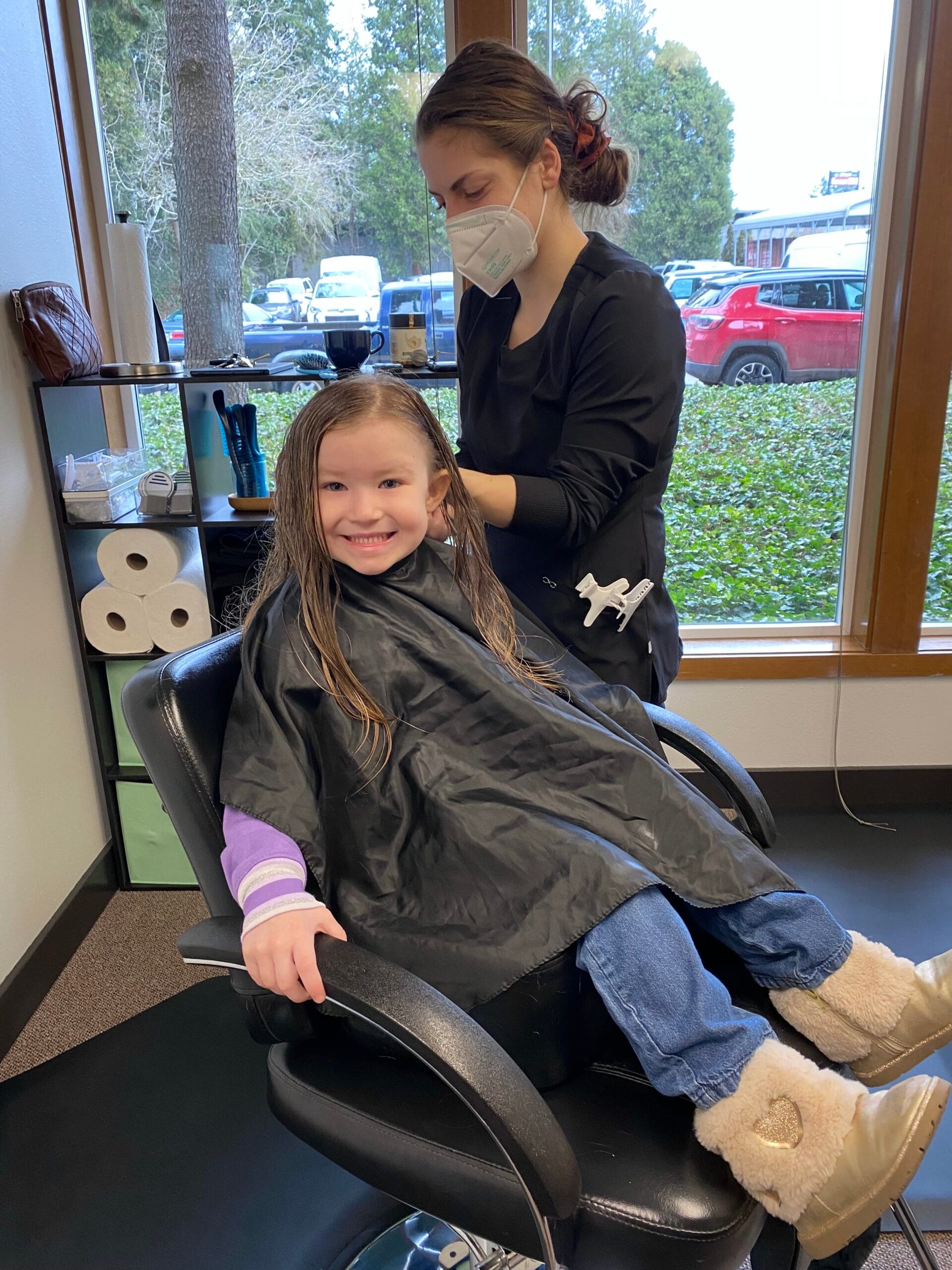
Lice Charmers Services:
Economic Infrastructure: Port of Edmonds
The Port of Edmonds is the only public port in Snohomish County located on the Puget Sound. It manages a massive 662-slip marina and the Harbor Square commercial complex. The port is a cornerstone of the city’s economy, supporting a robust maritime industry including boat repairs, whale watching tours, and commercial fishing support.