
Puyallup, Washington Profile
Puyallup, Washington is a city in Pierce County, located approximately 10 miles southeast of Tacoma and 35 miles south of Seattle. Home to roughly 43,000 residents, Puyallup sits in a fertile river valley framed by the Puyallup River to the north and the South Hill plateau rising to the south, with commanding views of Mount Rainier to the southeast.
Indigenous Roots: The Puyallup People
The city takes its name from the Puyallup Tribe (spuyaləpabš), a Coast Salish people whose name translates to “the generous people.” For millennia, the tribe lived along the bends of the Puyallup River, sustained by salmon runs and the valley’s abundant plant life; the Lushootseed name for the area, st̕iləqʷac, means “strawberry plant.” Today, the Puyallup Tribe of Indians, headquartered on the nearby Puyallup Indian Reservation, remains a major cultural and economic force in Pierce County.
Physical Geography and the Puyallup Valley
Puyallup’s geography is defined by its glacially carved river valley and the plateaus that flank it. Key geographic features within and around the city limits include:
- The Puyallup River: Fed by glaciers on Mount Rainier, the river forms the city’s northern edge and gives the valley its famously rich alluvial soil.
- South Hill: A broad plateau rising above the valley floor on the city’s southern side, home to much of Puyallup’s newer residential and retail growth.
- Clarks Creek: A spring-fed tributary on the west side of the city, surrounded by parkland and one of the region’s important salmon-bearing streams.
- Mount Rainier Views: The valley’s orientation gives Puyallup some of the most direct sightlines to Rainier of any Puget Sound city, a defining feature of its identity.
The Fair and Agricultural Corridor
Puyallup’s economy and identity grew from the valley’s farmland, once the “Hop Capital of the World” and later famous for daffodil bulbs and berries. That heritage remains physically integrated into the city:
- Washington State Fair Events Center: Occupying a large footprint near downtown, the fairgrounds host the Washington State Fair each September—one of the largest fairs in the nation—plus the Spring Fair, concerts, and year-round events.
- MultiCare Good Samaritan Hospital: Perched on the valley’s southern slope, this regional medical center is one of the city’s largest employers and anchors Puyallup’s role as a Pierce County healthcare hub.
Primary Puyallup Zip Codes
The following zip codes are primary to the Puyallup area:
| Zip Code | Primary District/Area |
|---|---|
| 98371 | Downtown / North Puyallup / Fairgrounds |
| 98372 | East Puyallup / Riverside |
| 98373 | South Hill West / Sunrise |
| 98374 | South Hill East / Manorwood |
| 98375 | South Hill / Frederickson Border |
Neighborhoods and Urban Districts
Puyallup blends a walkable historic core with newer plateau neighborhoods:
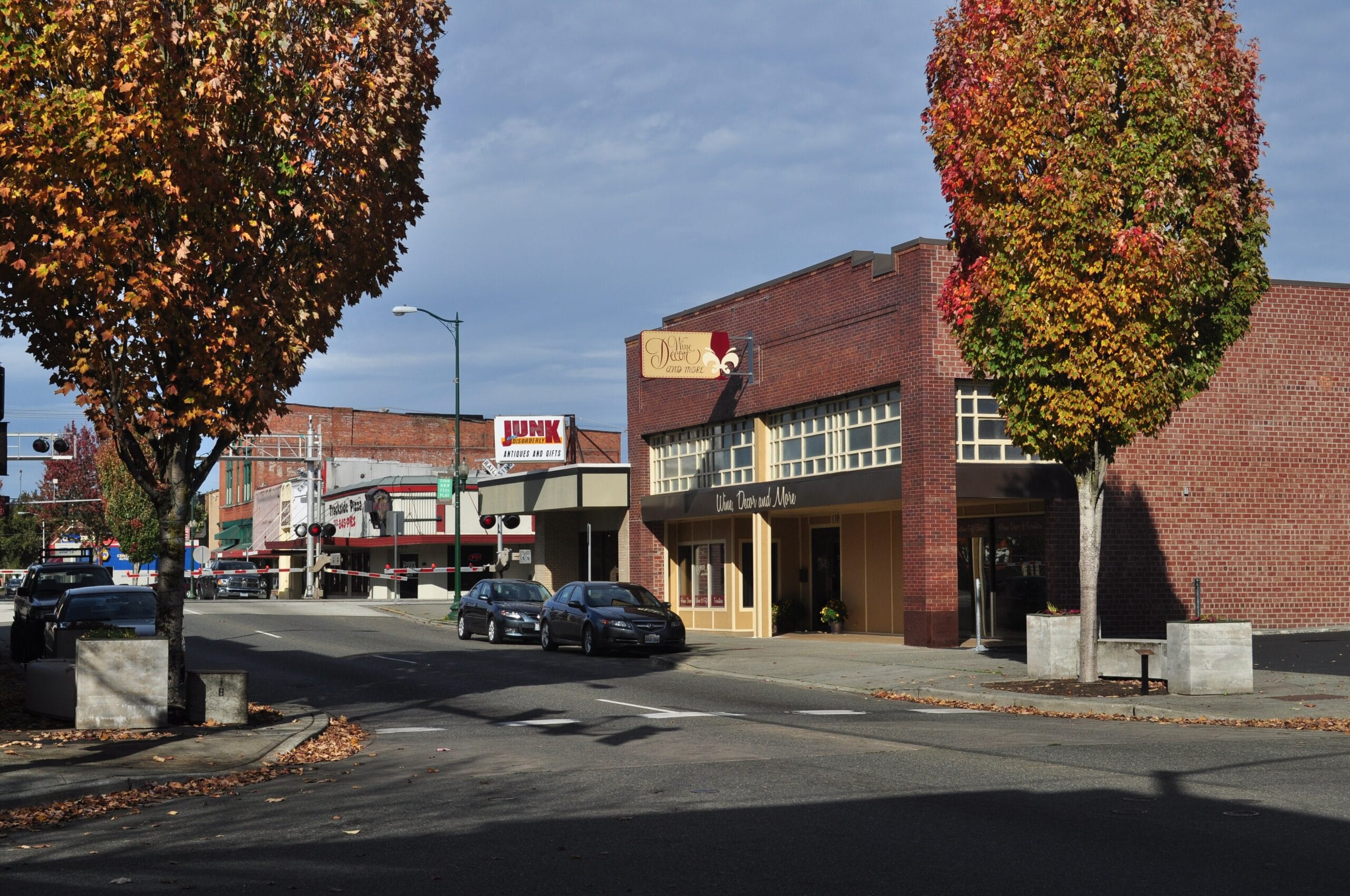
- Downtown Puyallup: The city’s original grid, centered on Meridian Street, with historic storefronts, Pioneer Park, the farmers market, and a Sounder commuter rail station.
- North Puyallup: A historic residential district across the river, one of the valley’s oldest settled areas.
- South Hill: The city’s largest growth area, a plateau district of residential subdivisions anchored by the South Hill Mall retail corridor.
- Sunrise: A master-planned community on the eastern plateau with parks, trails, and newer schools.
- Riverside: Valley-floor neighborhoods along the Puyallup River, close to farmland and the Foothills Trail.
Protected Areas and Parks
The city’s park system reflects its river-valley setting and farm heritage:
- Pioneer Park & Pavilion: The downtown gathering place, featuring the Ezra Meeker statue, a spray park, and the summer farmers market.
- Bradley Lake Park: A South Hill favorite with a paved loop trail circling the lake, a fishing dock, and ballfields.
- Clarks Creek Park: A 55-acre park along the spring-fed creek, connected to the 5.5-mile Puyallup Loop Trail.
- Wildwood Park: A forested park tucked into the hillside with trails, a waterfall, and picnic shelters.
- Van Lierop Park: Built on a historic bulb farm, famous for spring lupine blooms, Mount Rainier views, and direct access to the paved Foothills Trail.
Lice Charmers Services:
Transportation Infrastructure: The Sounder and SR 512
Puyallup is a key commuter hub for southern Puget Sound. The Sounder S Line commuter rail station downtown links the city to Tacoma and Seattle, while SR 512 and SR 167 connect the valley to I-5 and the Kent Valley industrial corridor. This access has made Puyallup one of Pierce County’s fastest-growing bedroom communities.